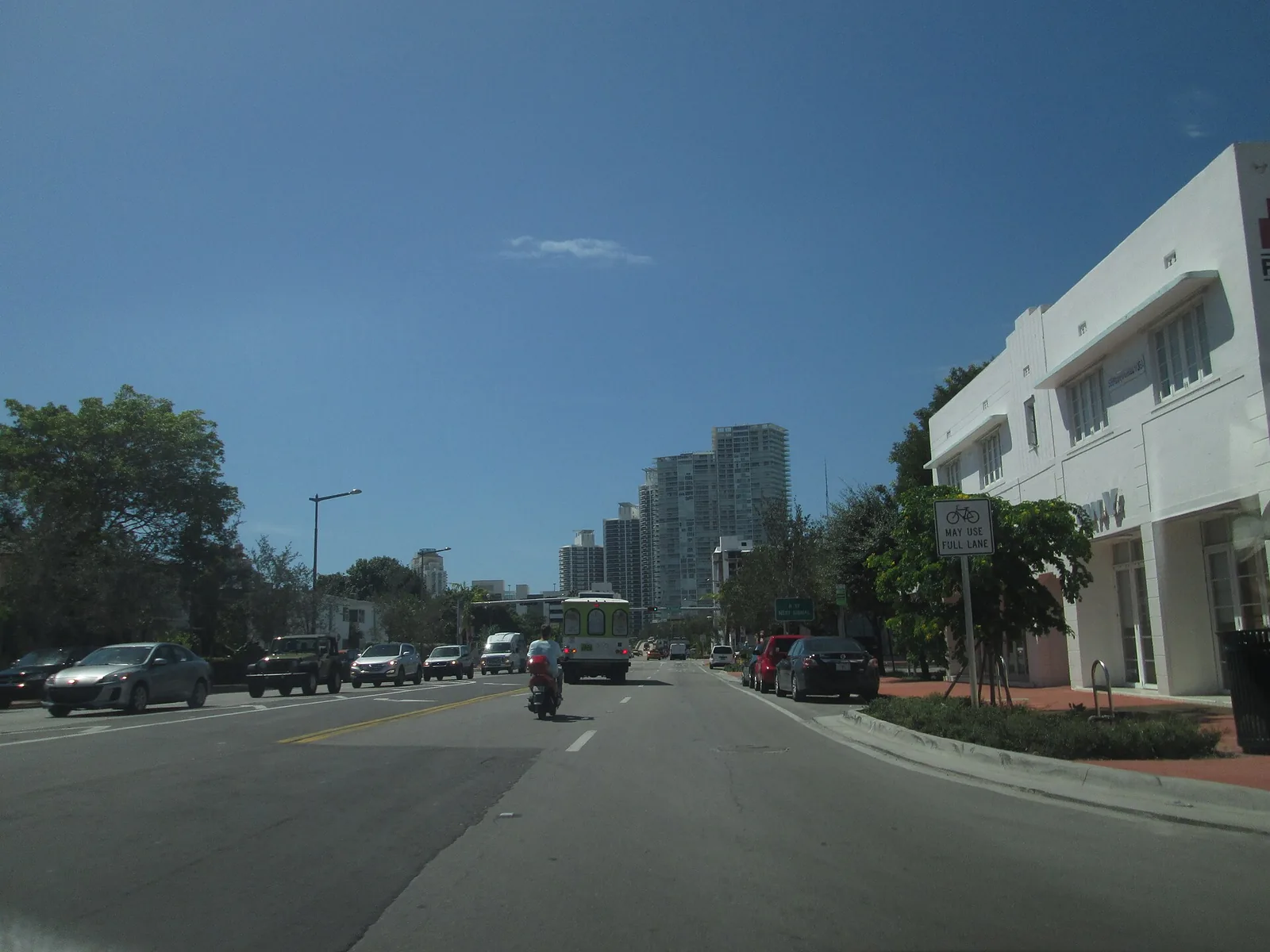
West Avenue is South Beach's bayfront west of Alton Road, from Fifth Street to Collins Canal, in ZIP 33139, with 5,667 addresses counting condo units.
Last checked Oct. 9, 2026. Sources: the City of Miami Beach neighborhood association list, 2050 Comprehensive Plan and parks directory, Miami-Dade County’s open data (address points and school attendance boundaries), the Florida Department of Education’s 2026 school grades, Zillow Research, Miami-Dade Transit and OpenStreetMap.
West Avenue is the bayfront side of South Beach. The West Avenue Neighborhood Association gives its boundary, on the city’s association list, as Collins Canal to the north, Fifth Street to the south, Biscayne Bay to the west and the west side of Alton Road. A second group on the list, the SoBeWest Neighborhood Association, uses the same lines. Miami-Dade County’s address data puts 347 street addresses and 5,667 addresses counting condo units inside them, about 7% of the city’s total, most in condo towers along the bay.
What this means for you
- High school: Miami Beach Senior High, rated B in Florida’s 2026 school grades.
- Home value: $464,044 in ZIP 33139 in August 2026, according to the Zillow Home Value Index.
- Nearest interstate: the start of I-395 (MacArthur Causeway) at Alton Road and Fifth Street, about 0.9 mile by road.
Part of our Miami Beach neighborhoods guide.
Where it is
The neighborhood is three long streets deep: West Avenue, Bay Road and the west side of Alton Road, with cross streets from Fifth Street to 17th Street and Lincoln Road ending at the bay. Collins Canal and Dade Boulevard close it off on the north, across the water from Sunset Harbor.
The city’s 2050 Comprehensive Plan, adopted May 20, 2026, sets a West Avenue Bay Front Overlay District for this stretch. It defines the West Avenue corridor as the area bounded by Fifth Street on the south, 17th Street on the north, Alton Court on the east and Biscayne Bay on the west, and it names pieces of the public Bay Walk to be built along the water at 800 West Ave., 1228 West Ave. and 1450 Lincoln Road.
ZIP code: 33139 for every address.
Schools
Miami-Dade County Public Schools assigns schools by address. On the county’s attendance boundary layers:
| Level | Zoned school | Share of addresses | Florida 2026 grade |
|---|---|---|---|
| Elementary or K-8 | Miami Beach Feinberg/Fisher K-8 Center, 1420 Washington Ave. | 83% | C |
| Elementary | Miami Beach South Pointe Elementary, 1050 Fourth St. | 16%, the southern end | A |
| Middle | Nautilus Middle, 4301 N. Michigan Ave. | 100% | A |
| High | Miami Beach Senior High, 2231 Prairie Ave. | 100% | B |
Shares count condo units; a handful of addresses fall in the North Beach Elementary zone. Grades are from the Florida Department of Education; each name links to the school’s state report card. Check an address with the district’s School Locator. More in our schools guide.
Home values
The typical home value in ZIP 33139 was $464,044 in August 2026, up 0.04% from $463,844 in August 2025, according to the Zillow Home Value Index. The index is a modeled typical value for the middle third of homes, single-family homes and condos together, not a sale price, and it covers all of 33139, not just this neighborhood. Zillow’s figure for Miami Beach as a whole was $522,429, up 1.0% on the year. More in our home prices guide.
Parks and trails
- Canopy Park, 701 West Ave., between the 600 and 700 blocks of Alton Road.
- Flamingo Park, across Alton Road at 11th Street and Jefferson Avenue, with a pool, track and courts.
- Maurice Gibb Memorial Park, 18th Street and Purdy Avenue, just north across Collins Canal, where the city’s free water taxi to downtown Miami stops.
More in our parks and trails guide.
Getting around
- Interstate: the start of I-395 (MacArthur Causeway) at Alton Road and Fifth Street, about 0.9 mile by road from the middle of the area; the start of I-195 (Julia Tuttle Causeway) at Alton Road and 41st Street, about 1.9 miles.
- City Hall (1700 Convention Center Drive): about 0.8 mile.
- Airport: about 10.9 miles to Miami International Airport.
- These are distances measured on the OpenStreetMap road network with the OSRM routing engine, not drive times.
- Bus: Miami-Dade Transit’s current schedule data lists routes 20 and 101 on Alton Road, with stops from Eighth Street to Lincoln Road, and route 15 at 17th Street and Alton Court. Times are on Metrobus.
- Free city trolley and water taxi: see our getting around guide.
Neighborhood association
The city’s list says the West Avenue Neighborhood Association is open to condo owners, homeowners, renters, business owners and others tied to the West Avenue corridor who agree with its purpose, and that SoBeWest is open to condo owners, homeowners, renters and business owners in the neighborhood. The city notes that every association on its list is an independent private organization. Condo buildings have their own associations under Florida law; we found no city or county record of a mandatory homeowners association for the neighborhood as a whole.
Groceries and everyday stores
From OpenStreetMap: a Whole Foods Market at 1020 Alton Road, Flamingo Food Market at 1510 Alton Road, a Trader Joe’s at 1683 West Ave. and a CVS Pharmacy at 1421 Alton Road.
How we drew this area
This page uses the West Avenue Neighborhood Association’s boundary from the City of Miami Beach list, with Collins Canal taken as the line just north of 17th Street. Address counts, ZIP codes and school zones come from Miami-Dade County’s address points (street addresses, and the same data with condo units counted one by one) matched to the county’s elementary, middle and high school attendance boundary layers (updated in September 2026) on Oct. 9, 2026. Store and park locations and road distances use © OpenStreetMap contributors.
Frequently asked questions
Where is the West Avenue neighborhood in Miami Beach?
Between Biscayne Bay and the west side of Alton Road, from Fifth Street north to Collins Canal, as the West Avenue Neighborhood Association’s boundary is given on the city’s list.
What ZIP code is West Avenue, Miami Beach?
- Zillow put the typical home value in 33139 at $464,044 in August 2026, nearly the same as in August 2025.
What schools serve West Avenue in Miami Beach?
Most addresses are zoned to Miami Beach Feinberg/Fisher K-8 Center (C in Florida’s 2026 grades) and the southern end to South Pointe Elementary (A); all go on to Nautilus Middle (A) and Miami Beach Senior High (B).
Is West Avenue a good place to live?
Here are the facts. West Avenue has 347 street addresses and 5,667 addresses counting condo units, Canopy Park at 701 West Ave., three supermarkets on OpenStreetMap inside it and the start of I-395 about 0.9 mile away by road.
Have your say