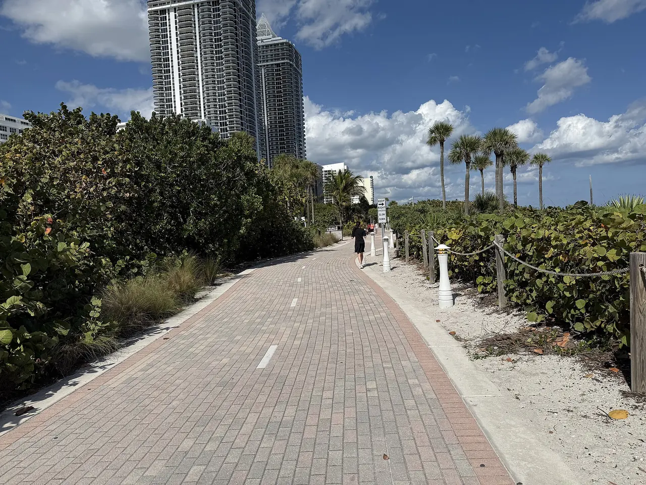
Mid-Beach's oceanfront runs along Collins Avenue from 23rd to 63rd Street, all in ZIP 33140, with 20,800 addresses counting condo units, a quarter of the city.
Last checked Oct. 9, 2026. Sources: the City of Miami Beach neighborhood association list, 2050 Comprehensive Plan, historic districts layer and parks directory, Miami-Dade County’s open data (address points and school attendance boundaries), the Florida Department of Education’s 2026 school grades, Zillow Research, Miami-Dade Transit and OpenStreetMap.
Mid-Beach is the middle of the three sections the city’s 2050 Comprehensive Plan uses for Miami Beach, between South Beach and North Beach. This page covers its oceanfront: the strip between Indian Creek and the Atlantic from 23rd to 63rd streets, which the Mid Beach Neighborhood Association represents, on the city’s association list, as the condominium and hotel properties along Collins Avenue and Indian Creek Drive. The neighborhoods on the bay side of Mid-Beach have their own pages: Bayshore, Nautilus and La Gorce.
The oceanfront holds more homes than any other area in this guide. Miami-Dade County’s address data counts only 200 street addresses here but 20,800 addresses counting condo units, about 27% of the city’s total.
What this means for you
- High school: Miami Beach Senior High, rated B in Florida’s 2026 school grades.
- Home value: $684,957 in ZIP 33140 in August 2026, according to the Zillow Home Value Index.
- Nearest interstate: the start of I-195 (Julia Tuttle Causeway) at Alton Road and 41st Street, about 1.1 miles by road.
Part of our Miami Beach neighborhoods guide.
Where it is
Collins Avenue (State Road A1A) runs the length of the strip, with Indian Creek Drive alongside it on the creek from the 20s to 44th Street. Indian Creek, the waterway on the west, separates the towers from the single-family streets on Pine Tree Drive and La Gorce Drive. 41st Street (Arthur Godfrey Road) crosses Indian Creek and leads west to the Julia Tuttle Causeway.
The city’s historic districts layer puts about seven in 10 of the area’s street addresses in the Collins Waterfront Historic District and about one in eight in the Morris Lapidus/Mid 20th Century Historic District. Exterior work there goes through the city’s Planning Department.
ZIP code: 33140 for every address.
Schools
Miami-Dade County Public Schools assigns schools by address. Every address on the oceanfront falls in these zones on the county’s attendance boundary layers:
| Level | Zoned school | Florida 2026 grade |
|---|---|---|
| Elementary | North Beach Elementary, 4100 Prairie Ave. | A |
| Middle | Nautilus Middle, 4301 N. Michigan Ave. | A |
| High | Miami Beach Senior High, 2231 Prairie Ave. | B |
Grades are from the Florida Department of Education; each name links to the school’s state report card. Check an address with the district’s School Locator. More in our schools guide.
Home values
The typical home value in ZIP 33140 was $684,957 in August 2026, up 2.4% from $669,068 in August 2025, according to the Zillow Home Value Index. The index is a modeled typical value for the middle third of homes, single-family homes and condos together, not a sale price, and it covers all of 33140, including the houses west of Indian Creek. Zillow’s figure for Miami Beach as a whole was $522,429, up 1.0% on the year. More in our home prices guide.
Parks and trails
From the city’s parks directory:
- Mid Beach Park, 46th Street and Collins Avenue, on the ocean.
- Mid Beach Bark Beach, one of the city’s three beaches for dogs.
- Beach View Park, 53rd Street and Collins Avenue, which the city lists as closed for construction.
- The Beachwalk runs along the ocean the length of the strip.
OpenStreetMap also maps small beach-access parks at 36th Street, 53rd Street and Indian Beach Park. More in our parks and trails guide.
Getting around
- Interstate: the start of I-195 (Julia Tuttle Causeway) at Alton Road and 41st Street, about 1.1 miles by road from the middle of the area; the start of I-395 (MacArthur Causeway) at Alton Road and Fifth Street, about 3.2 miles.
- City Hall (1700 Convention Center Drive): about 1.9 miles.
- Airport: about 10.9 miles to Miami International Airport.
- These are distances measured on the OpenStreetMap road network with the OSRM routing engine, not drive times.
- Bus: Miami-Dade Transit’s current schedule data lists routes 14, 36 and 150 (the Miami Beach Airport Flyer) on Collins Avenue in the 20s and 30s, and routes 79 and 100 on Collins Avenue from 44th Street north. Times are on Metrobus.
- Freebee: the city’s free on-demand rides cover Mid-Beach. Hours and the trolley are in our getting around guide.
Condo and neighborhood associations
The city’s list says the Mid Beach Neighborhood Association’s members are condominium associations, at $75 a year, and hotels, at $250, along Collins Avenue and Indian Creek Drive from 23rd to 63rd streets. The city notes that every association on its list is an independent private organization. Each condo building has its own association under Florida law. The city’s condo resources page links the state’s rules on condo budgets, reserve schedules and elections.
Groceries and everyday stores
OpenStreetMap lists a CVS Pharmacy on Collins Avenue near 40th Street inside the area and no supermarket. Just west on 41st Street it maps a Walgreens at 4049 Pine Tree Drive and a CVS Pharmacy at 4040 Prairie Ave.
How we drew this area
This page uses the Mid Beach Neighborhood Association’s area from the City of Miami Beach list: everything between Indian Creek and the ocean from 23rd to 63rd streets, with the Collins Park area south of 25th Street left on its own page. Address counts, ZIP codes and school zones come from Miami-Dade County’s address points (street addresses, and the same data with condo units counted one by one) matched to the county’s elementary, middle and high school attendance boundary layers (updated in September 2026) on Oct. 9, 2026. Store and park locations and road distances use © OpenStreetMap contributors.
Frequently asked questions
What is Mid-Beach in Miami Beach?
Mid-Beach is the middle of the city’s three main sections in the city’s comprehensive plan, between South Beach and North Beach. Its oceanfront is the strip of condos and hotels on Collins Avenue and Indian Creek Drive from 23rd to 63rd streets.
What ZIP code is Mid-Beach, Miami Beach?
The oceanfront from 23rd to 63rd streets is all in 33140. Zillow put the typical home value in 33140 at $684,957 in August 2026, up 2.4% on the year.
What schools serve Mid-Beach condos?
On the county’s attendance boundary layers, every address on the Mid-Beach oceanfront is zoned to North Beach Elementary (A in Florida’s 2026 grades), Nautilus Middle (A) and Miami Beach Senior High (B).
How many homes are on the Mid-Beach oceanfront?
Miami-Dade County’s address data counts 20,800 addresses there when condo units are counted one by one, about 27% of the city’s total, in only 200 street addresses.
Have your say